This site uses cookies to offer you a better browsing experience. By continuing to navigate through this site or by clicking Approve, you consent to the use of cookies on your device as described in our privacy notice.
Pavement Assessment Vehicle

Pavement Assessment Vehicle

The Hawkeye Survey Platform is the most complete and advanced data collection system in the industry today. Hawkeye has been built through 50 years of steady research and development investments and continues to be refined as technology evolves.

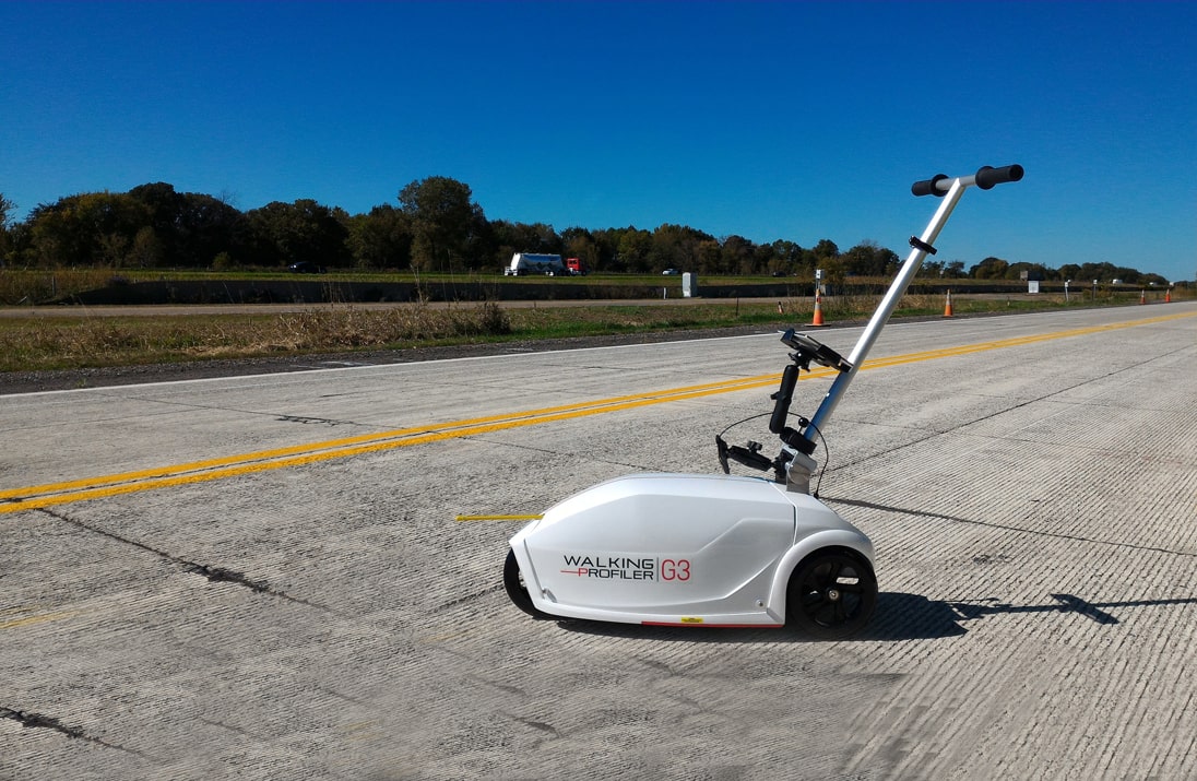
Hawkeye is a modular survey system which enables complete scalability and customized functionality, whilst still delivering consistent and integrated data outputs. This allows systems to range from portable compliance profilers, to fully automated network survey vehicles, to continuous friction and deflection measuring devices.

Using the same system architecture across the Hawkeye range allows equipment to be supplementary and also interchangeable to suit client’s project needs and deliver optimal project outcomes at maximum efficiency. It also allows simultaneous and synchronized collection of complementary data such as Retro reflectivity, LiDAR, GPR, continuous skid resistance data and other attributes.

Enquiry

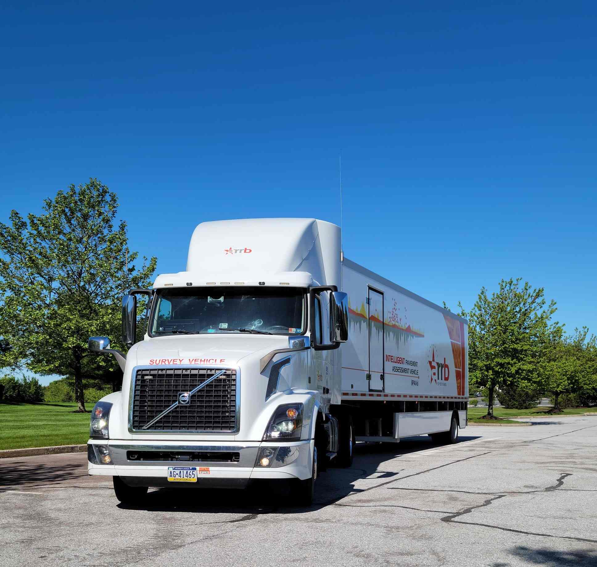
Hawkeye 2000 packages are installed on a dedicated Network Survey Vehicle, allowing for safe and efficient data collection of multiple network parameters. Due to its limited requirement for computer hardware, the Hawkeye 2000 series can be installed on a wide variety of vehicles.

Once your requirements are established, simply customise the Hawkeye 2000 packages to meet your needs. The modular design enables the Hawkeye 2000 system to be configured to the client’s current requirements and ensures it is completely flexible and scalable to meet future demands.


Features

  • Fully integrated data collection system with common data and survey control referencing, utilising our in-house built ‘Heartbeat’ module.
  • Enables safe and efficient data collection for both urban and rural surveys.
  • Survey time is reduced by collecting all condition data and imagery in a single pass.
  • Uses standard interfaces and protocols to take advantage of future devices and protect your investment.

Applications

  • Network and project level road and asset collection surveys
  • Automatic Crack Detection surveys
  • Routine pavement monitoring surveys
  • Roadside inventory and asset management inspections
  • Road geometry and mapping surveys
  • Contractor quality control
  • Line marking reflectivity
  • Airport runway inspections

The Hawkeye Automatic Crack Detection (ACD) system is the most advanced cracking system available in the market. Utilizing two high performance 3D laser units fitted to the rear of the vehicle, the ACD is fully integrated into the Hawkeye platform, meaning outputs are precisely aligned, both linearly and spatially, with the measurements from other sensors.

ARRB Systems has undertaken years of development and testing of the ACD, which has allowed us to develop customized crack reporting formats to meet the needs of our clients. The Hawkeye software is capable of producing multiple cracking reports and has the ability to analyse the ‘crack maps’ using our own proprietary software. These algorithms also include proprietary software code to detect and remove False Positives and other Non-crack features.


Features

  • Rut depth measured over 4 m width at 1 mm transverse resolution
  • 28,000 profiles collected per second
  • Day and night operation, unaffected by shadows
  • Low power consumption
  • Data compression algorithms to minimize storage
  • Lightweight and waterproof
  • Measurements are possible on all sealed surfaces
  • Data collection down to 0.5km / hr, with the use of our pedestrian safety module
  • Increased 3D imagery and crack processing times, utilizing our distributed processing system

Available outputs

  • Multiple crack analysis reports
  • Rutting
  • Potholes / Delamination
  • Ravelling
  • Macrotexture
  • Lane Marking
  • Shoving
  • Bleeding

The Hawkeye 2000 Digital Laser Profiler (DLP) can be configured to meet the specific needs of your road condition data. The data collected includes: International Roughness Index (IRI), Ride Number (RN), Rut Depth, Mean Profile Depth (MPD), Sensor Measured Texture Depth (SMTD) and other parameters. The system comprises a vehicle-mounted measurement beam equipped with ARRB Systems specially developed lasers, enabling the collection of longitudinal profile, roughness and macrotexture (MPD and SMTD).


Features

  • Scalable to allow for the addition of more lasers (up to 15 lasers)
  • Rugged, aluminium beam design
  • Operational at highway speeds to reduce survey time and costs
  • Results are independent of vehicle type
  • Measurements possible on all sealed surfaces
  • Data is linked to chainage and GPS coordinates

Available outputs

  • Roughness
  • Longitudinal profile
  • Transverse profile
  • Rutting
  • Faulting
  • Macrotexture

Compliance with Standards

  • Class 1 as per ASTM E950
  • Class L111 as per ASTM E1656
  • Class 2L1111 as per EN 13036-6:2008
  • ISO 13473: Mean Profile Depth (MPD)

The newly released GIPSI-Trac2 is the next generation GNSS + INS (Global Navigation Satellite Systems + Inertial Navigation System) geometry module. The GIPSI-Trac2 utilizes dead-reckoning sensors and dual GNSS antennas to collect position and road geometry information with sub-metre accuracy.

This combined system provides a far greater update rate and supports more satellite systems than previous GNSS offerings, including SBAS and Omnistar. It boasts real-time fused GNSS/INS outputs in all survey conditions, including periods of GNSS outage. Built-in dead-reckoning allows for position data to be recorded when in tunnels, under bridges and locations with little or no GNSS coverage.


Features

  • Uses an integrated GNSS receiver and dead-reckoning inertial sensors
  • 200Hz fused data output
  • Typical mapping accuracy of 1.2 m
  • Exports to CSV and point or polyline shapefiles
  • Readily interfaces with a number of GIS packages
  • Has fully customisable GPS projection methods (Lat, Long, Easting, Northing and a range of datums)

Applications

  • Road geometry and complex position for 3D mapping
  • Operates in all locations: Inside tunnels, Under bridges, Highly vegetated or mountainous regions
  • Estimate speed and travel times
  • Locate potential sites for rainfall ponding
  • Conformance to design specifications

Available outputs

  • Grade
  • Cross slope
  • Horizontal and vertical curvature
  • Inertially corrected GNSS position
  • Distance

Benefits

Norvia
Norvia

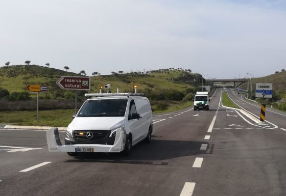
Customer: Norvia Location: Portugal Products: Hawkeye 2000 and Hawkeye 1000

Geokom
Geokom

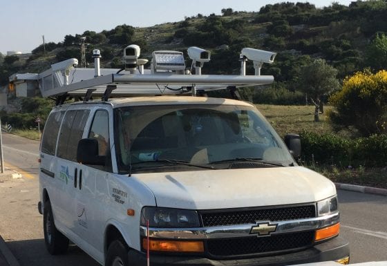
Customer: Geokom Ltd. Location: Israel Products: Hawkeye 2000 Automatic Crack

Virginia DoT
Virginia DoT

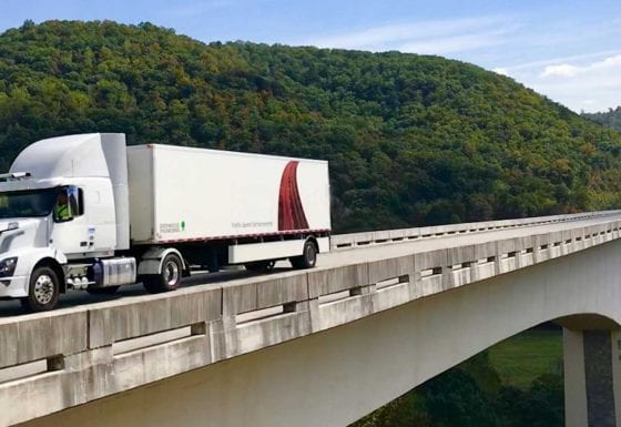
Customer: Virginia Department of Transport Location: Charlottesville, Virginia, United States

Digital Imaging System

The H2000 Asset View Digital Imaging System (DIS) is capable of visually identifying and locating roadside features

The Hawkeye 2000 Digital Imaging System supports both asset and pavement view cameras. The system comprises the latest digital camera technology and produces crisp, high-resolution video frames to ensure a continuous digital record of the roadway. Each camera is mounted in a waterproof enclosure, on a customised roof rack and all controlled through the common Hawkeye interface.


Features

  • Provides continuous digital images
  • Supports up to eight (8) Asset View cameras
    • Full colour, high resolution imagery
    • Standard and High Definition options
  • Supports two (2) Pavement View cameras
    • Black and white, linescan imagery
  • Uses .AVI storage files
  • Images can be used to measure, geo-reference and note points of interest

Available Outputs

  • Digital imagery
  • GPS location / distance

Applications

Asset View DIS

  • Visual identification of roadside features and assets
  • Right-of-way roadside condition assessment
  • Asset location for GIS applications
  • Road safety engineering assessment

Pavement View DIS

  • Pavement condition and deterioration assessment
  • Road surface marking identification
  • Crack screening and measurement
  • Verification and validation of other data streams

Technical Resources

PB_H2000_Series

Pavement Assessment Vehicle

VIEW

Contact Us at +9714 2152799

We can help you with a solution tailor to your specific need.